|
This page contains a selection of photos of estuarine and coastal systems to which
the ASSETS/NEEA method has been applied.
United States
 |
|
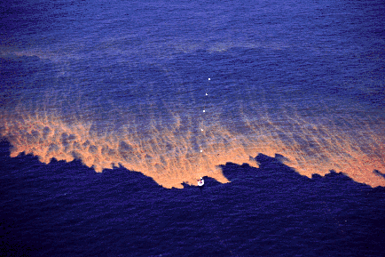
Mississippi Atchafalaya river plume - Red tide bloom of river origin
spreading over the waters of the Gulf of Mexico
|
 |
|
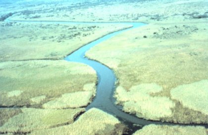
Apalachicola National Estuarine Research Reserve, a moderately
impacted system on the Florida Gulf Coast
|
 |
|
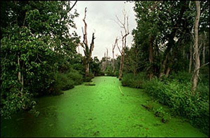
A bloom in the Neuse estuary, North Carolina. This system
is
severely impacted, exhibiting both primary and secondary
eutrophication symptoms. The main source of nutrients is due
to effluents from pig farming in the watershed
|
 |
St. Helena Sound National Estuarine Research Reserve, South
Carolina. This is a system with low to moderate eutrophication
symptoms
|
|
|
|
Europe |
 |
|
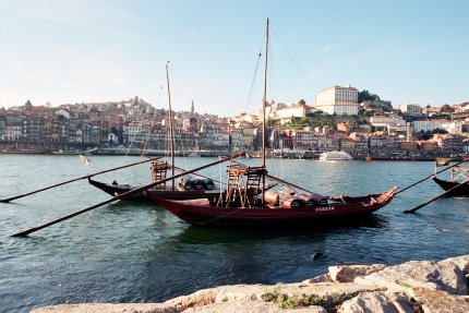
The Douro estuary in Portugal: there is currently insufficient
information to determine the ASSETS classification for this
system.
|
 |
|
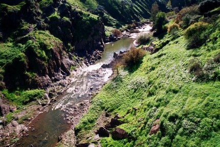
The upper reaches of the Guadiana, Portugal. This estuary is
classified as Moderate in terms of eutrophication status
|
 |
|
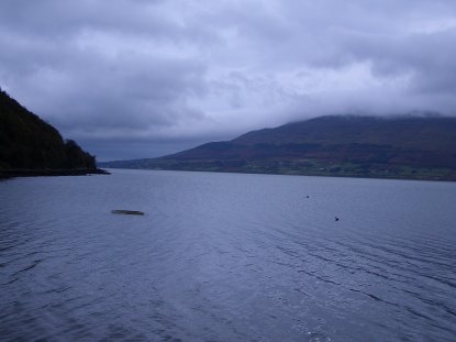
Carlingford Lough separates Ireland from Northern Ireland at
the eastern border. This sea lough is used for shellfish
aquaculture, and considered to be in pristine condition.
The ASSETS model gives it a score of Low.
|
|
|
|
China |
 |
|
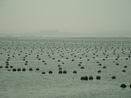
Sanggou Bay is located in Shandong province, North-East
China. The whole of the bay is used for polyculture, combining
species such as japanese oyster, kelp and abalone.
The eutrophication status of the bay is classified as Moderate
Low
|
 |
|
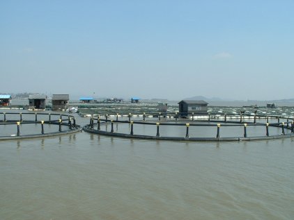
Huangdun Bay is in Zhejiang province, south of Shanghai.
Like
many Chinese coastal systems, it has multiple uses, including
polyculture (fish pens used for the cultivation of bass are
shown here). The assessment of Huangdun Bay by means of
ASSETS shows the system to be at Moderate status.
|
|